6-Day Forecast of VHF, UHF & Microwave Radio & TV Anomalous Propagation & Interference
|
6-Day Forecast of VHF, UHF & Microwave Radio & TV Anomalous Propagation & Interference |
|
Forecast © 2025 William R. Hepburn
| |||
| For personal hobby use only. Please check here for additional usage restrictions and information on licences for business or government use. |
||||
| Forecast in 3 hour intervals for first 36 hours ... and in 6 hour intervals for the remainder of the 6 days | ||||
| Maps updated daily around 1800 UTC | ||||
| Click on map to advance - or use keyboard left/right arrows Hit Refresh on your browser to ensure display of latest maps. You must have JavaScript enabled. |
| 0 |
1 |
2 |
3 |
4 |
5 |
6 |
7 |
8 |
9 |
10+ |
|
|
|
|
|
|
|
|
|
|
|
|
| U = UNSTABLE SIGNAL AREAS |
||||||||||

|
|
| 0 |
1 |
2 |
3 |
4 |
5 |
6 |
7 |
8 |
9 |
10+ |
|
|
|
|
|
|
|
|
|
|
|
|
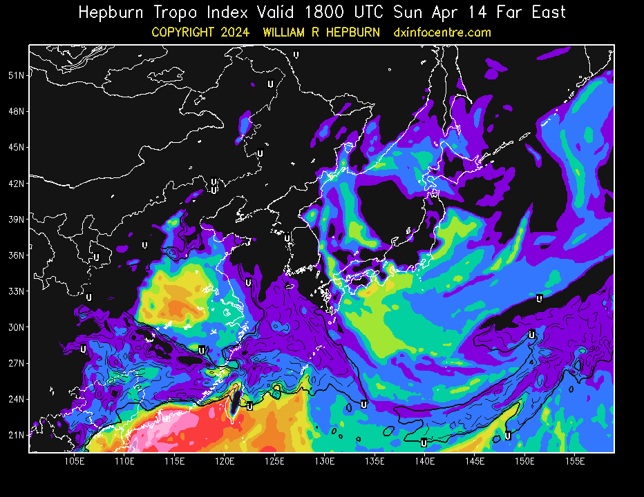
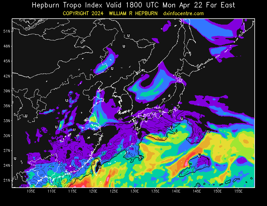
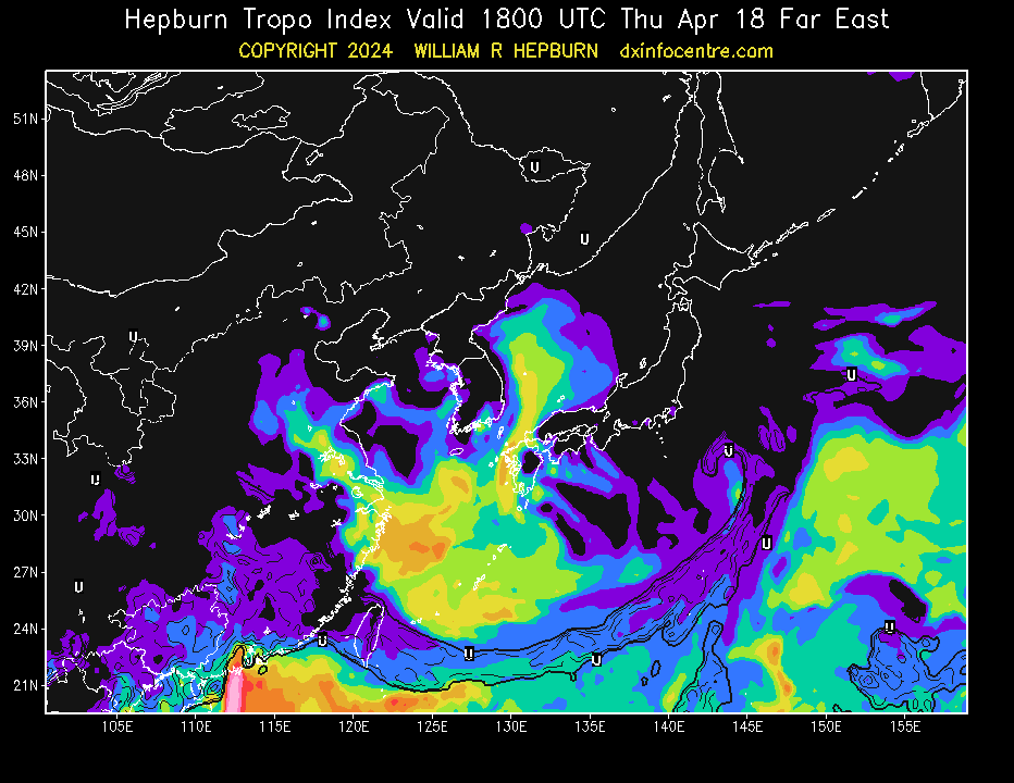
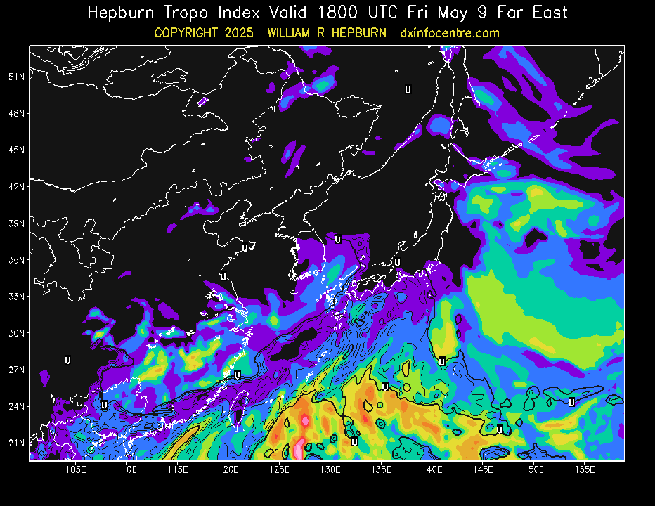
| Past Week Maps |
||||||
| Sunday | Monday | Tuesday | Wednesday | Thursday | Friday | Saturday |
|
 |
 |
 |
 |
 |
 |
| Click for larger image | ||||||
| The areas noted in the forecast have the necessary atmospheric conditions to produce tropospheric bending of VHF, UHF and/or microwave radio waves. Tropospheric bending extends the range of radio & TV stations well beyond their normal limit and thus increases interference amongst stations as well. |
| How to use the Tropospheric Ducting Forecast Tropospheric DX Modes History of the Tropospheric Ducting Forecast |
| GrADS 2.0 (COLA/IGES) used to create maps. GrADS copyright at http://cola.gmu.edu/grads/gadoc/COPYRIGHT. Raw meteorological data source : Meteorological Service of Canada. MSC licence at http://dd.weather.gc.ca/doc/LICENCE_GENERAL.txt. Privacy policy |
|
|
 |
|
|
|


